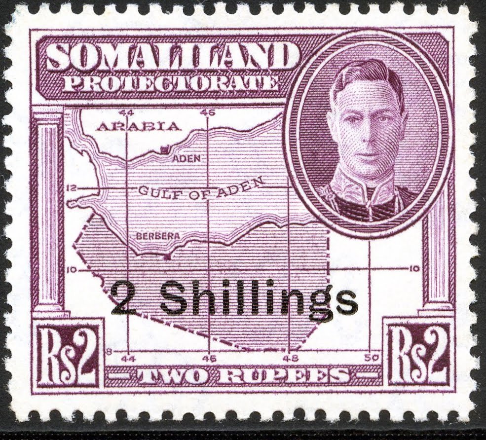
King George VI - map of British Somaliland - 2 shilling
Issued in 1951 as part of the definitive series of the British Somaliland Protectorate, this stamp commemorates the map of British Somaliland, depicting the territory's strategic location along the Gulf of Aden on the Horn of Africa. The design includes a portrait of King George VI, reflecting the protectorate's status within the British Empire, while the map highlights key locations such as Berbera, the principal port and administrative center of the territory. The issue formed part of a series illustrating important geographical, economic, and cultural features of Somaliland.
By featuring the map of British Somaliland, the administration emphasized the territory's importance as a maritime gateway between Africa, Arabia, and the Indian Ocean trade routes. The stamp highlighted Somaliland's strategic geographic position and its role in regional commerce and communications, while serving as a symbol of the protectorate's identity and its place within the broader network of British-administered territories during the mid-twentieth century.
By featuring the map of British Somaliland, the administration emphasized the territory's importance as a maritime gateway between Africa, Arabia, and the Indian Ocean trade routes. The stamp highlighted Somaliland's strategic geographic position and its role in regional commerce and communications, while serving as a symbol of the protectorate's identity and its place within the broader network of British-administered territories during the mid-twentieth century.